Tropical Storm Isaias Braces Gulf Coast for Late Week Landfall
The National Hurricane Center warns of potential Category 2 strength and dangerous storm surge impacts along the northern Gulf Coast by Saturday.
The Gulf Coast of the United States is preparing for the arrival of Tropical Storm Isaias, which has developed into a significant weather system in the Gulf of Mexico. As of early Wednesday morning, the storm's sustained wind speeds exceeded 39 miles per hour, officially classifying it as a tropical storm after being designated as the ninth tropical depression. The National Hurricane Center (NHC) reports that Isaias is currently positioned west of the Yucatan Peninsula and is tracking east-northeast before curving northward toward the northern Gulf Coast.
Forecasted Landfall and Intensification
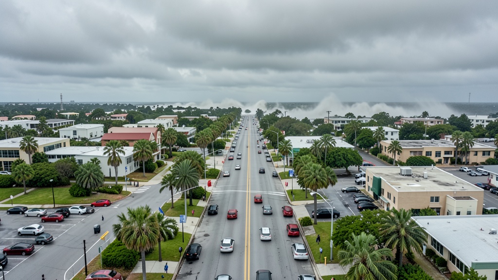
Meteorologists predict that the storm will make landfall between eastern Louisiana and the Florida Panhandle late Friday or early Saturday. The NHC warns of an increasing risk for dangerous wind impacts and storm surge along portions of this coastline. While warm waters in the Gulf are expected to fuel rapid strengthening, potentially pushing Isaias to Category 2 hurricane status, strong wind shear from the jet stream may counteract this intensification as the system moves north, as this newspaper reported in Remnants of Dolly Threaten Florida as Gulf Systems Develop.
Rainfall and Flooding Risks
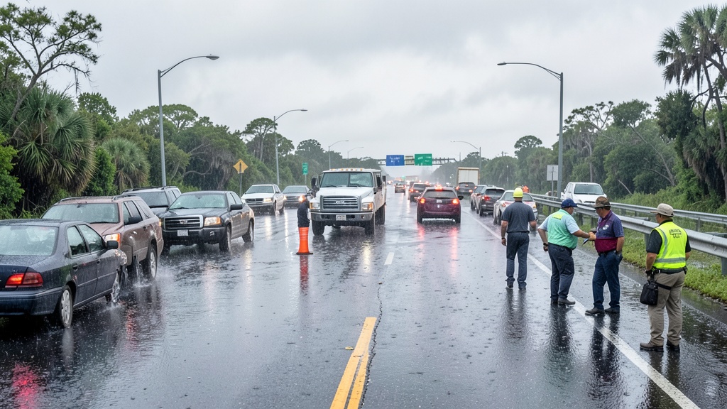
Heavy rainfall is a primary concern for residents in the central Gulf Coast and much of the Southeast. The NHC forecasts 3 to 6 inches of rain across the central U.S. Gulf Coast, with localized amounts reaching up to 10 inches. This precipitation poses risks for flash flooding, urban flooding, and isolated river flooding. Further east, areas extending from the Tennessee Valley to the Carolinas are expected to receive between 1 and 3 inches of rain, with some locations potentially seeing up to 5 inches, more context in Remnants of Dolly Threaten Florida as Gulf Systems Develop.
Preparedness Recommendations
Authorities are urging residents in communities along the projected path to stay updated on the latest storm information. The National Hurricane Center advises individuals to have emergency hurricane kits ready and to monitor official forecasts closely as the system approaches. With the potential for significant weather impacts, local officials emphasize the importance of preparedness as Isaias continues its trajectory toward the United States.