South Florida Braces for Heat as Meteorologists Track Three Tropical Systems
The Next Weather Team monitors developing systems with rising formation probabilities while residents face triple-digit heat indices this weekend.
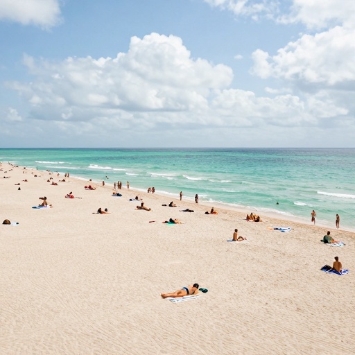
Residents across South Florida are preparing for a hot and humid Sunday as meteorologists from The Next Weather Team continue to monitor three distinct areas being tracked by the National Hurricane Center (NHC). High real temperatures in the region are projected to reach the low 90s. However, when combined with high humidity levels, the heat index will result in triple-digit feels-like temperatures for local communities.
Tracking Tropical Development
The primary focus of current meteorological analysis involves a tropical wave located roughly halfway between the African coast and the Lesser Antilles. This system currently holds a 20 percent chance of development through seven days. While the wave is moving quickly westward, forecasts indicate it will encounter increasing wind shear later this week as it approaches the Lesser Antilles. These environmental factors are expected to likely limit its development potential.
A second area south of the Cabo Verde Islands presents a more significant outlook for formation. A small area of low pressure has already formed in this region, prompting the NHC to raise the seven-day formation probability to 50 percent, an increase from the 40 percent recorded on Saturday evening. The system is forecast to merge with an approaching tropical wave within the next two days. Environmental conditions are expected to become more conducive for development by midweek.
Third System and Regional Conditions
The third area of interest involves a trough of low pressure located several hundred miles west-northwest of Bermuda. This system is currently producing disorganized shower and thunderstorm activity but maintains only a 10 percent chance of development through seven days as it moves quickly eastward well north of the island chain. The system is expected to reach cooler waters later this week, which will likely end any development chances after Wednesday, as this newspaper reported in NHC Tracks Two Tropical Disturbances as Florida Faces Extreme Heat.
Additional atmospheric factors include Saharan dust lingering over the northeastern Caribbean through Monday. This dust layer is forecast to gradually erode as moisture returns on Tuesday ahead of an approaching tropical wave. Meteorologists emphasize that none of these systems currently pose an immediate threat to land areas, but they will continue monitoring for any potential development and shifts in forecast tracks.
For the immediate future, South Florida residents can expect a consistent hot and humid cycle each day over the next week. The combination of high temperatures and humidity requires vigilance regarding heat safety as local weather teams provide ongoing updates on tropical activity across the Atlantic basin.