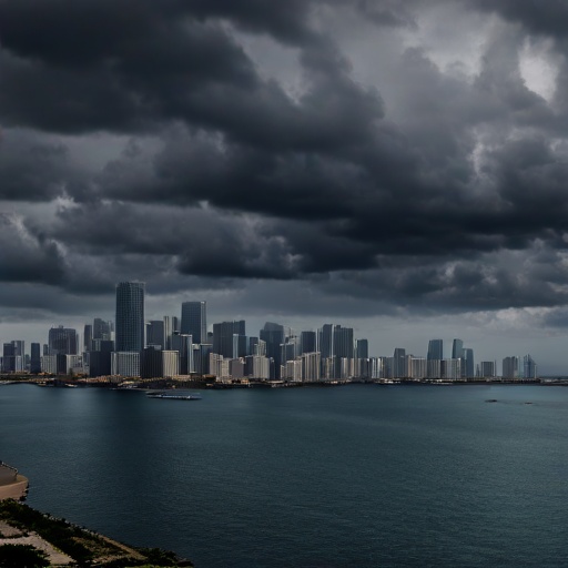
Florida Braces for Peak Hurricane Season as Dolly Lurks in Atlantic Basin
Meteorologists warn the most active period of the storm cycle has arrived, prompting renewed vigilance across coastal communities and emergency management agencies.
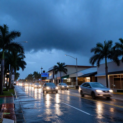
As Florida enters the critical window of hurricane season, state officials and meteorological experts are urging residents to prepare for a potentially volatile stretch of weather. The Atlantic basin is currently experiencing heightened activity, with forecasts indicating that tropical storm Dolly could develop in the coming days. This development comes as the region transitions into what climatologists describe as the busiest time of the year.
Peak Activity Window Approaches
The period between August 20 and September 30 represents the statistical peak of hurricane activity, accounting for over 60% of all Atlantic storms in a typical season. This specific window is characterized by warm sea surface temperatures and favorable atmospheric conditions that allow tropical systems to form and intensify rapidly.
Florida’s geography makes it uniquely susceptible during this timeframe. With its extensive coastline and proximity to the Gulf of Mexico and the Atlantic Ocean, the state serves as a frequent target for storms emerging from the Caribbean or forming in open waters. Emergency management directors across Miami-Dade, Broward, Palm Beach, and the Panhandle are currently reviewing their protocols.
"We are entering the most dangerous part of the season," said a spokesperson for the National Hurricane Center during its latest briefing. "The probability of storm formation increases significantly as we move through late August." This warning is not merely theoretical; historical data shows that major hurricanes, including those causing catastrophic damage, often emerge from this specific three-week period.
Tropical Storm Dolly Develops in the Basin
Recent satellite imagery and model forecasts have identified a developing disturbance in the Atlantic basin. While currently classified as a tropical wave, meteorologists are closely monitoring its potential to organize into Tropical Storm Dolly. The system is moving generally westward, though its exact trajectory remains subject to change based on upper-level wind patterns, as this newspaper reported in Florida Braces for Potential Tropical Depression as Hurricane Season Peaks.
Forecast models suggest that if Dolly forms, it could remain over open water for several days before approaching the Florida peninsula or the Gulf Coast. However, meteorologists emphasize that early forecasts are often unreliable beyond seven days. The primary concern is not necessarily landfall in its current form, but rather how environmental conditions might allow it to strengthen as it nears populated areas.
Residents along the eastern seaboard should monitor updates from the National Weather Service’s Miami and Tallahassee offices closely. If Dolly develops into a named storm, it will be assigned an official number in the rotating list of Atlantic hurricane names. The Federal Emergency Management Agency (FEMA) has reminded residents that once a system is designated as a tropical storm or higher, federal resources may begin to mobilize depending on projected impacts, as this newspaper reported in Florida Braces for Potential Tropical Depression as Hurricane Season Peaks.
Preparedness Measures for Coastal Residents
In response to the looming threat of Dolly and the general increase in seasonal activity, state authorities are reinforcing public safety campaigns. The Florida Division of Emergency Management has distributed updated checklists to county emergency coordinators, emphasizing the importance of securing property and reviewing evacuation routes, as reported by Washington Post.
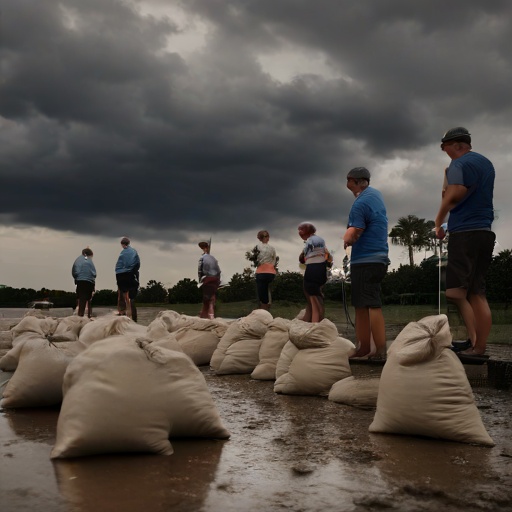
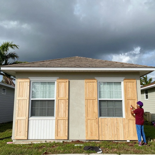
Key recommendations include clearing gutters and drainage areas to prevent flooding, boarding up windows if a storm appears imminent, and ensuring that generators are fueled and tested. Insurance providers across the state have also issued alerts regarding policy renewals and coverage limits as the risk period intensifies.
"The best time to prepare is before the first watch or warning is issued," stated a local emergency management director in Sarasota County. "Residents should identify their evacuation zones now, not when a storm track points directly at their home."
Tourism operators along the coast are also adjusting operations. While many resorts remain open, some have begun offering flexible cancellation policies to accommodate travelers concerned about potential disruptions. The state’s tourism industry, which relies heavily on favorable weather conditions, is monitoring the situation with caution.
Long-Term Climate Context
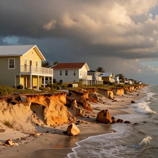
This year’s forecast aligns with broader climate trends that suggest increasingly active hurricane seasons in recent years. Warmer ocean temperatures in both the Atlantic and Gulf of Mexico provide additional energy for storm development. Scientists note that while individual storms like Dolly are part of natural variability, the overall trend points toward higher risks during this peak window.
As Florida navigates this critical period, the focus remains on community resilience and informed decision-making. With over 60% of annual activity concentrated in just a few weeks, vigilance is paramount for protecting lives and property across the state.